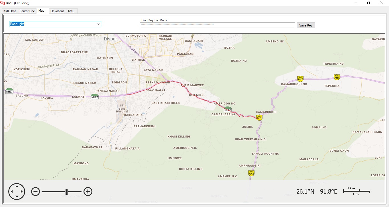
Maps
Survey Data Extraction from GIS,
With CalQuan PreTender, easily extract elevation data from Centre Line coordinates or KMZ/KML files provided
with Tender Data.
Cut grids, create cross lines, fetch RL's of points at desired offset using GIS to be used as OGL for Quantity
Calculation.
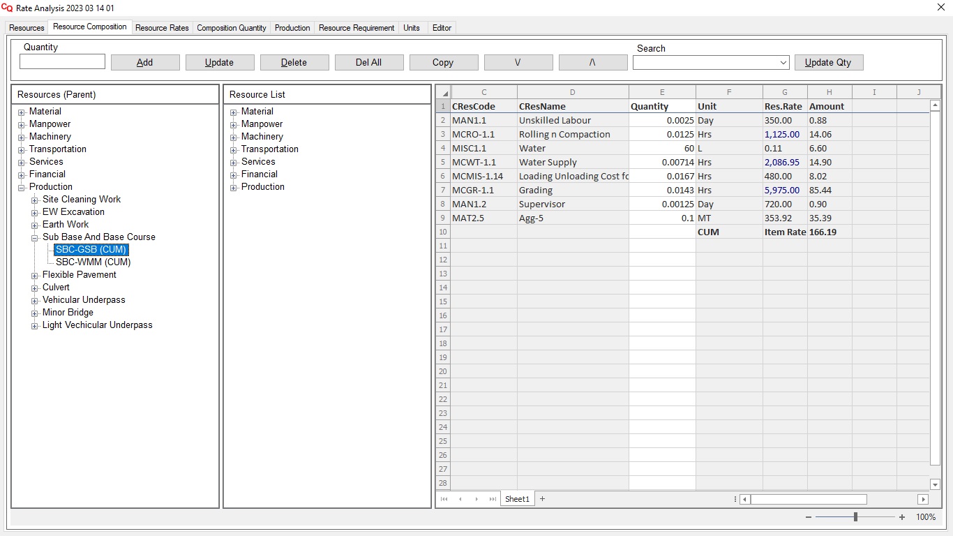
Rate Analysis
Rate Analysis
PreTender’s analysis module offers comprehensive multi-level rate analysis for infrastructure projects,
allowing users to define various rate levels for detailed cost estimation.
You require an account with Google Maps or Microsoft Bing which is chargeable.